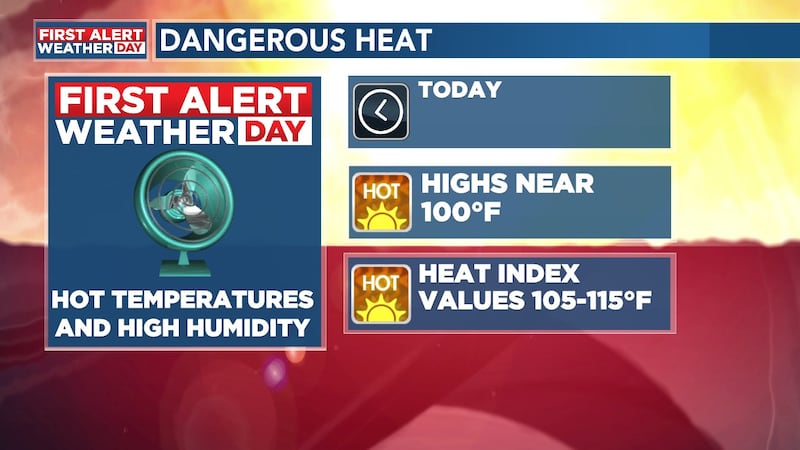
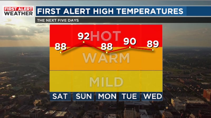
The National Weather Service has trimmed back the Excessive Heat Warning for today and it now only includes Marion, Lamar, Pickens, and Sumter counties. Highs could be close to 100°F with a heat index near 110°F.
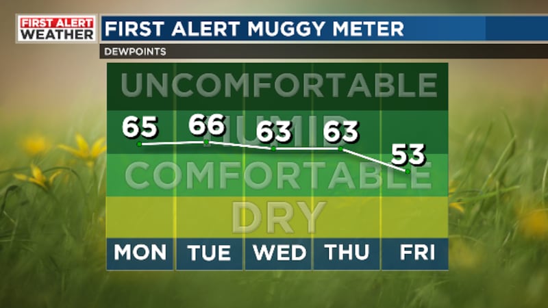
Slightly drier air will continue to filter in this evening thanks to a weak cold front moving across the state. The weak cold front will help to keep a breeze around overnight with westerly winds at 5-10 mph.
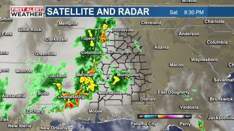
First Alert AccuTrack Satellite and Radar is showing us mostly cloudy. Most of the rain is located in northeast Alabama and into parts of Georgia and the Carolinas.
First Alert AccuTrack shows a lull in activity across our area Wednesday night, but redevelopment will be possible again overnight into Thursday with the best chance for a strong or severe storm south of I-20.
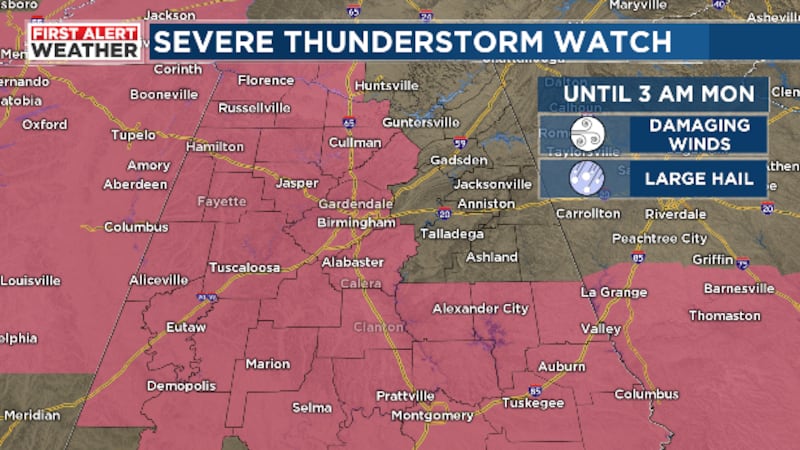
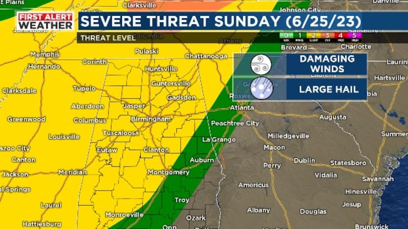
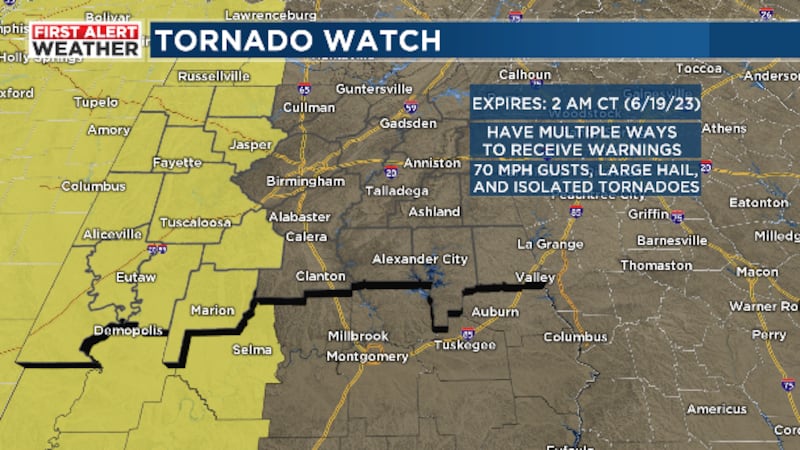
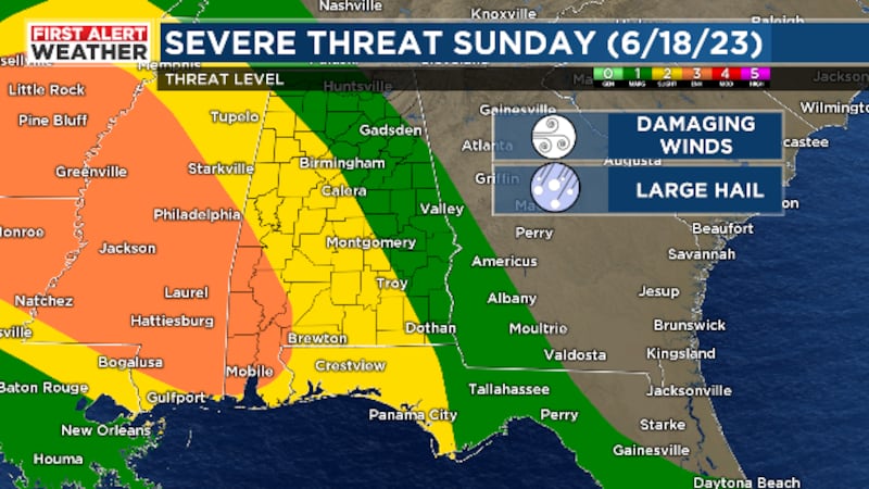
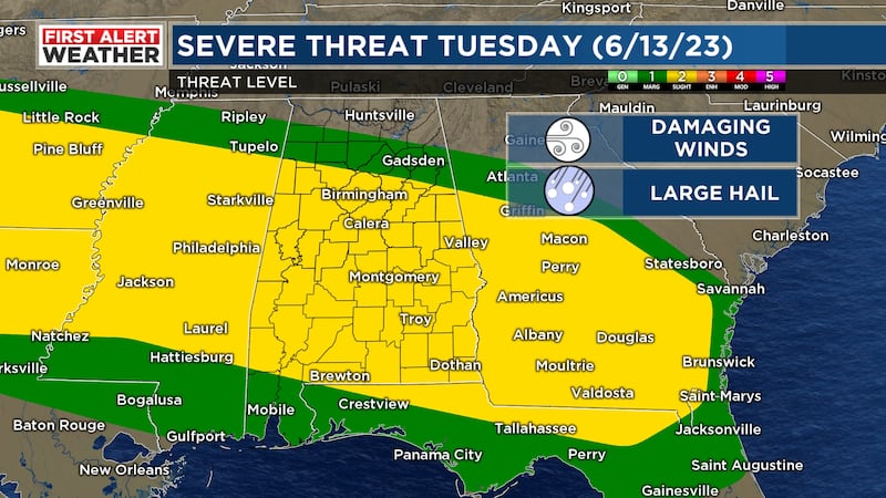
Severe thunderstorms are possible across all of Central Alabama through tonight, with the primary threats being large hail and damaging wind gusts. Flash flooding is also possible overnight.
The air quality continues to be the issue this afternoon across Jefferson and Shelby counties. There is a code orange in effect for particulate matter due to smoke from Canada.
Ozone levels at the surface will reach unhealthy levels for sensitive groups tomorrow, so limit your time outdoors if you deal with respiratory issues like asthma or COPD.
We do not expect air quality to be anywhere near as bad as our neighbors to the northeast, but you can expect the haze around for tomorrow at least, which could make for some picturesque sunrises and sunsets.
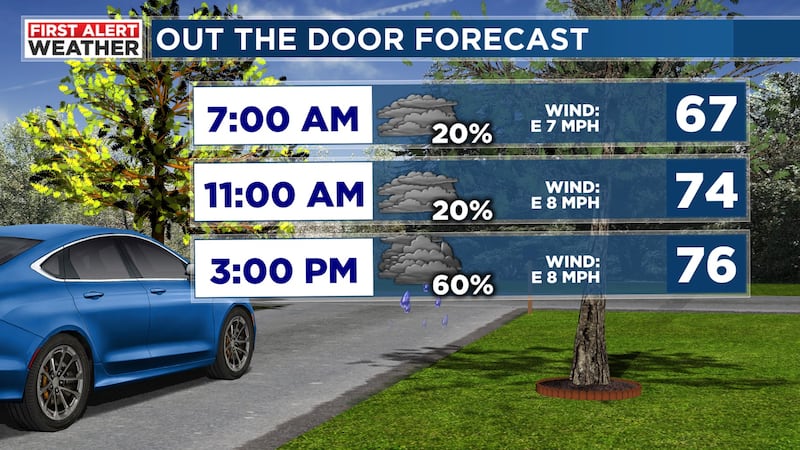
Though we expect a lull in the rain for a few hours, more scattered showers will develop after midnight with numerous showers and a few rumbles of thunder possible by the morning commute.
High pressure will build in from the east resulting in cooler temperatures overnight, especially in northeast Alabama in advance of another disturbance approaching from the west.
First Alert for patchy fog this morning. Visibility could be reduced to a quarter of a mile or less. Any fog that develops this morning should dissipate by 9 a.m.
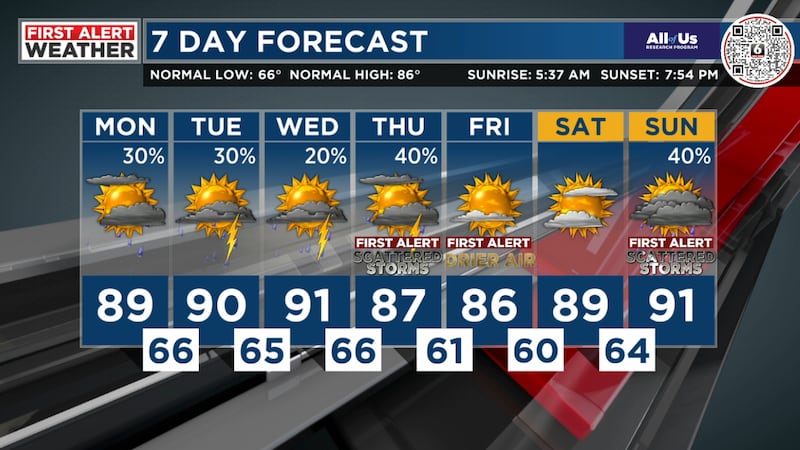
A few isolated showers will be possible overnight with light winds and patchy fog developing with temperatures staying in the 60s for Thursday morning.