First Alert: Severe Thunderstorm Watch until 3 a.m.; Another round of strong to severe storms possible mostly targeting counties west of I-65
BIRMINGHAM, Ala. (WBRC) - A Severe Thunderstorm Watch is now in place until 3 a.m. for Tuscaloosa, Sumter, Greene, Hale, Bibb, Perry, Chilton, Coosa, Jefferson, Pickens, Fayette, Marion, Winston, Walker, Cullman, Shelby, Lamar, and Blount County. Damaging winds up to 60-70 mph and large hail are our main threats from any strong to severe storm.

First Alert AccuTrack shows another round of strong to severe storms approaching our western counties. Storms are likely tonight through early Monday morning.

Scattered Storms Monday: We will likely see a chance for another round of stormy weather tonight into Monday morning. A few storms could be strong or severe. Rain chances are at 40 to 50%. We’ll likely see a few showers and storms early in the day. It’ll remain hot and very muggy, with highs in the lower 90s.

Scattered Storms Monday: We will likely see a chance for another round of stormy weather tonight into Monday morning. A few storms could be strong or severe. Rain chances are at 50%. We’ll likely see showers and storms early in the day, with a few more storms possible late in the afternoon and evening hours. It’ll remain hot and very muggy, with highs in the lower 90s. When you factor in the humidity, it could feel like it is in the triple digits. The good news is that this stormy pattern will move to our south, allowing us to dry out by Monday night.

When you factor in the humidity, it could feel like it is in the triple digits. The good news is that this stormy pattern will move to our south, allowing us to dry out by Monday night.

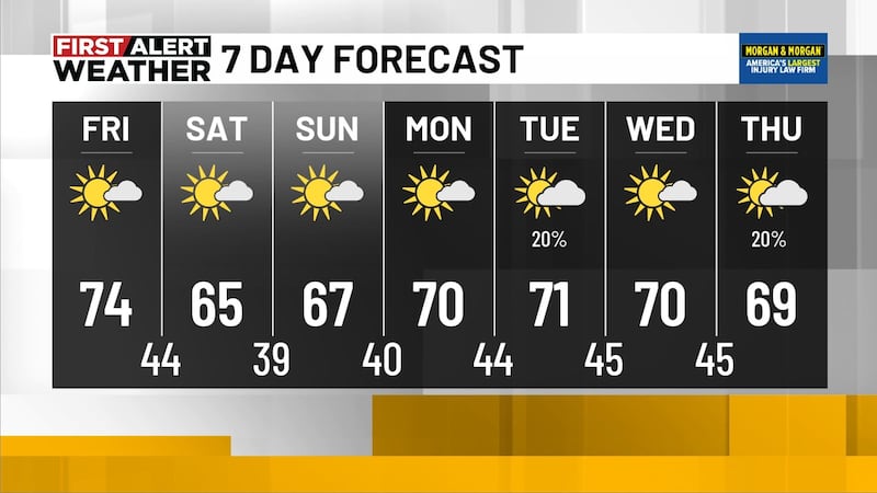
Hot and Muggy Next Week: We will likely see a small break from the stormy weather by the middle of next week. A ridge of high pressure will likely build in, giving us sunshine and hot temperatures. We could see highs in the low to mid-90s next Tuesday through Friday. It will not surprise me if we see the upper 90s in far west Alabama by next Thursday and Friday. We’ll likely stay mostly dry for the middle of next week, but we can’t rule out a few showers and storms by next Thursday and Friday. The first weekend of July could start stormy across Central Alabama.

Tropics: Tropical Storm Cindy is barely holding on as a tropical cyclone as it tracks to the north and west. The tropical storm is having a gradual decrease in forward speed and the National Hurricane Center says Cindy is expected to degenerate into a trough of low pressure by Monday night.
Make sure you download the WBRC First Alert Weather App for the latest weather information.
Get news alerts in the Apple App Store and Google Play Store or subscribe to our email newsletter here.
Copyright 2023 WBRC. All rights reserved.