First Alert: Scattered showers and storms Monday
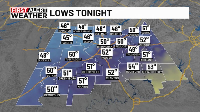
BIRMINGHAM, Ala. (WBRC) - Happy Sunday! We stay mostly dry through the night under mostly cloudy skies. Temperatures will cool into the mid to upper 60s overnight. Winds will come from the northeast around 5 mph. Monday brings more chances for showers and storms.

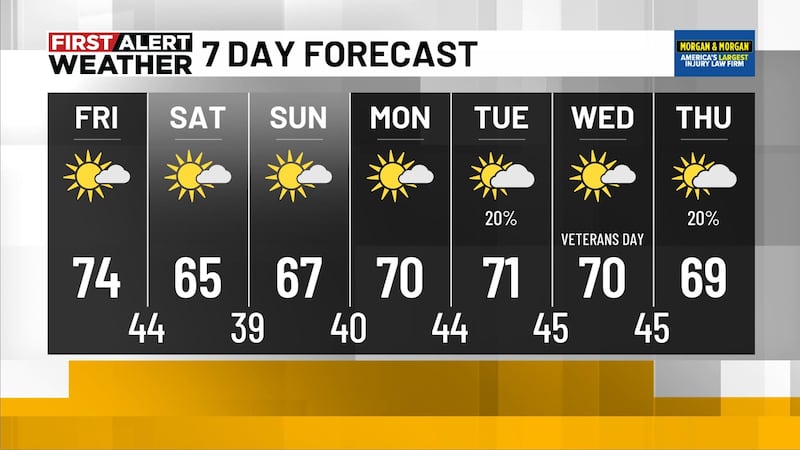
Scattered storms and numerous showers Monday: Expect wet weather for the start of the week. A disturbance and other atmospheric factors are bringing some unsettled weather resulting in numerous showers and scattered storms throughout the day Monday. One weather model is hinting at showers early Monday morning and another model shows most showers and storms in the evening. There is a good chance we could see a few showers Monday morning, but I do anticipate the bulk of the rain to move in the afternoon and evening. To be safe, bring your rain gear with you and download our weather app for forecast updates throughout the day. Rain looks to it will carry into Tuesday morning. We could see up to 2 inches of rainfall Monday and cooler temperatures for areas east where it could end up the wettest. Daytime highs will range from the low to mid-70s for areas east and low 80s for counties west of I-65.

Next Big Thing: I am not ruling out the chance for a strong storm to produce on Monday. If it does, expect heavy rainfall, gusty winds, and hail from the storm. Expect overnight lows Monday into Tuesday morning to cool into the low 60s.
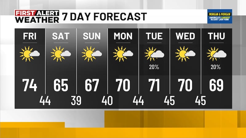
Drier Tuesday afternoon: Looks like we could see most of the wet weather out of central Alabama by Tuesday afternoon. Tuesday daytime highs will probably end up in the upper 60s to mid-70s. Overnight low temperatures could cool into the upper 50s.
Mid-week and beyond: Wednesday and Thursday look dry for now but there are indications we could see rain chances again for the end of the week. We could see some isolated showers on Friday with daytime high temperatures near seasonable in the low 80s and overnight lows in the 60s.
Memorial Day weekend: As with next week’s forecast, there is plenty of uncertainty surrounding the Memorial Day weekend forecast too, and we will have to see how the weather pattern evolves in the coming days. Right now, the weather looks fairly seasonable with lows near 60 and highs in the low to mid-80s under a partly cloudy sky and just isolated showers and storms possible. Humidity also looks to possibly be on the rise again by next weekend, fittingly setting us up for the unofficial start of summer!
Be sure to download the WBRC First Alert Weather app on Apple and Android devices for the latest updates!
Get news alerts in the Apple App Store and Google Play Store or subscribe to our email newsletter here.
Copyright 2023 WBRC. All rights reserved.