First Alert Weather: Severe storms possible Tuesday
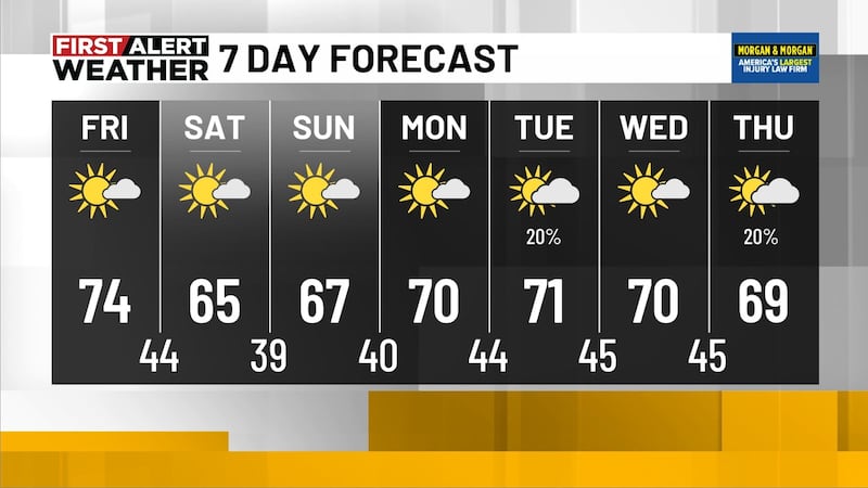
BIRMINGHAM, Ala. (WBRC) - Severe storms are possible on Tuesday. The Storm Prediction Center has issued a slight risk - threat level 2 out of 5 - for most of Central Alabama. The main threats tomorrow will be heavy rainfall, frequent lightning, damaging winds up to 60 mph, and large hail. A stalled boundary will set up across the Southeast where storms will develop. We will likely see storms fire up to our west and spread into Alabama as we head into tomorrow and Wednesday. We could see a few showers or storms tomorrow morning with temperatures starting out in the low to mid 60s. Scattered storms will become likely Tuesday evening. With plenty of cloud cover and a higher chance for rain at 60%, temperatures will likely trend a little cooler with highs in the low to mid 80s. Please monitor the forecasts and stay weather aware as some of these storms could pack a punch. The storm threat could continue Tuesday night into Wednesday morning.

Rain and Storms Continue Wednesday: We are expecting additional rounds of showers and storms Wednesday. We will likely start the day with temperatures in the mid 60s with highs climbing into the low to mid 80s. We will hold on to a 70% chance for showers and storms. Once again, we can never rule out a strong or severe storm on Wednesday, but the greatest threat may end up to our south.
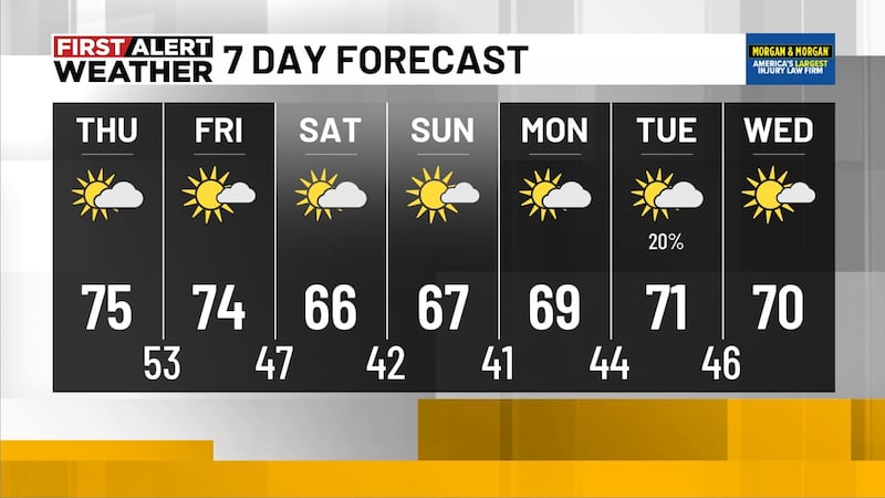
Lower Rain Chances Thursday and Friday: We may see a small break in the numerous showers and storms by Thursday and Friday. I’ve lowered our rain chance to 40% Thursday and 20% for Friday. With lower chances of rain, temperatures will likely trend warmer with highs in the mid to upper 80s. A few spots could climb near 90°F on Friday. It will remain very muggy with a partly cloudy sky each day. Heat index values could climb into the low to mid 90s.
Scattered Storms Possible Saturday: Northwest flow will continue going into the weekend. We will likely have to monitor another cluster of storms that will form to our northwest and sweep southeast into Alabama. Scattered showers and storms will be possible again Saturday with a rain chance up to 50%. Temperatures Saturday morning will likely start out in the upper 60s with highs in the upper 80s. Storms that develop on Saturday could become strong and severe. The main threat will be damaging winds and large hail.

Rainfall Potential This Week: The good news on the unsettled weather this week is that we will get some beneficial rainfall. The bad news is that we may end up with too much rain. The Weather Prediction Center is forecasting 2-4 inches of rainfall for most of Central Alabama over the next five days. We could see higher rainfall totals southeast of Birmingham around 5 inches. Flash flooding can’t be ruled out this week. Just remember to never drive through flooded areas. Turn around, don’t drown!
Make sure you download the WBRC First Alert Weather app for the latest weather information.
Get news alerts in the Apple App Store and Google Play Store or subscribe to our email newsletter here.
Copyright 2023 WBRC. All rights reserved.