First Alert: Severe storms possible Sunday
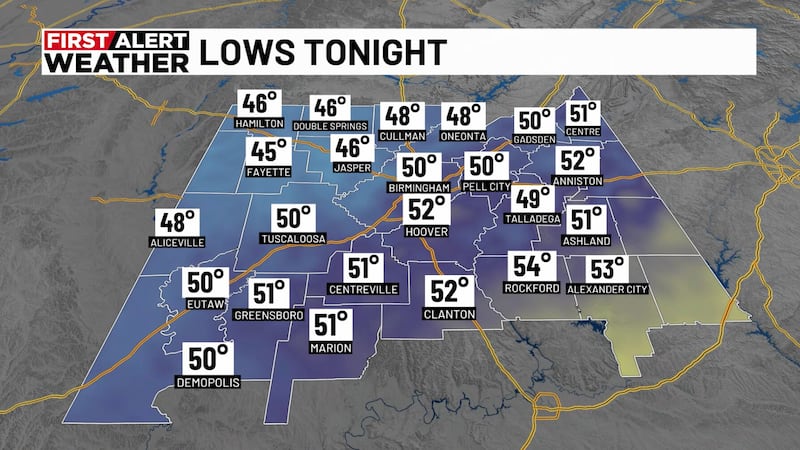
BIRMINGHAM, Ala. (WBRC) - Happy Saturday! First Alert AccuTrack shows us mostly dry. Overnight temperatures are expected to reach the upper 60s and low 70s. Expect a mostly clear night sky.
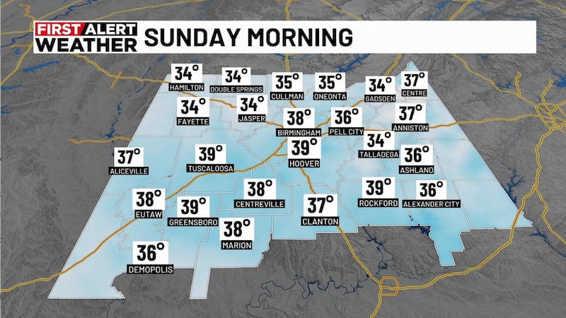
Possible Storms Sunday: Humidity levels will likely increase tonight and into Sunday. It’ll make the heat index climb higher and also help increase our chances of seeing showers and storms. We’ll likely start Sunday morning off warm and muggy, with temperatures in the upper 60s and lower 70s.

We now have a First Alert for the possibility of scattered storms at times on Sunday, with rain chances of up to 50%. With a northwest flow pattern setting up again, models are struggling to figure out the timing of when any clusters of storms could move through. Right now, it looks like the first round could move through either Sunday morning or early Sunday afternoon before another round moves in later Sunday night. The Storm Prediction Center is highlighting a slight risk - threat level 2 out of 5 - for central Alabama. A few strong or severe storms can’t be ruled out, with damaging winds and large hail as the main threats. Storms that form Sunday into Monday will also be able to produce heavy rainfall and frequent lightning. Just make sure you have ways to receive critical weather information. Remember that when thunder roars, go indoors.
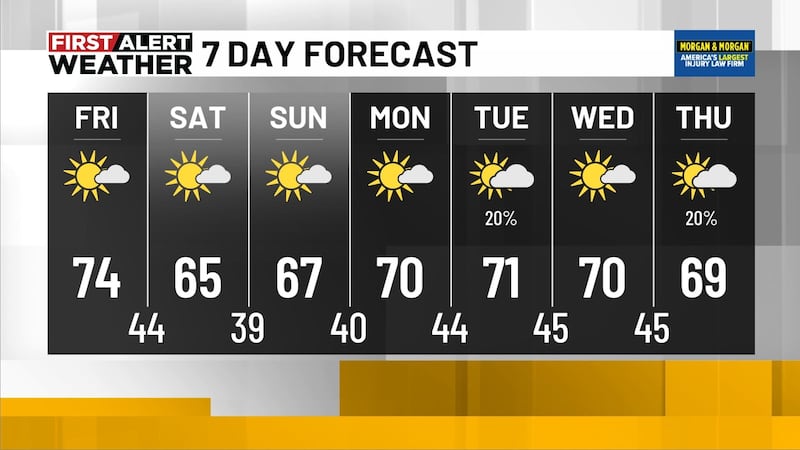
Scattered Storms Monday: We will likely see a chance for another round of stormy weather Sunday night into Monday morning. A few storms could be strong or severe. Models are backing off on the coverage of showers and storms later in the day on Monday, so we expect to gradually dry out during the afternoon. Rain chances are at 40%. We’ll likely see showers and storms early in the day, with a few more storms possible late in the afternoon and evening hours. It’ll remain hot and very muggy, with highs in the lower 90s. When you factor in the humidity, it could feel like it is in the triple digits. The good news is that this stormy pattern will move to our south, allowing us to dry out by Monday night.

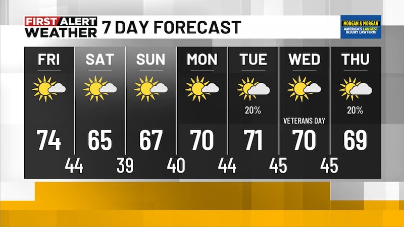
Hot and Muggy Next Week: We will likely see a small break from the stormy weather by the middle of next week. A ridge of high pressure will likely build in, giving us sunshine and hot temperatures. We could see highs in the low to mid-90s next Tuesday through Friday. It will not surprise me if we see the upper 90s in far west Alabama by next Thursday and Friday. We’ll likely stay mostly dry for the middle of next week, but we can’t rule out a few showers and storms by next Thursday and Friday. The first weekend of July could start stormy across Central Alabama.

Tropical Update: Tropical Storm Bret weakened and dissipated earlier this afternoon, but we will continue to monitor Tropical Storm Cindy with maximum sustained winds above 50 mph. Weakening is forecast over the next several days. Cindy could move into a trough of low pressure by the middle portion of next week. The organization of the storm does not look favorable to withstand the storm’s strength much longer. However, Cindy is moving quickly toward the northwest but is expected to pass well to the northeast of the northernmost Leeward Islands.
Make sure you download the WBRC First Alert Weather App for the latest weather information.
Get news alerts in the Apple App Store and Google Play Store or subscribe to our email newsletter here.
Copyright 2023 WBRC. All rights reserved.