FIRST ALERT: Mostly dry and seasonable weather in store for Sunday
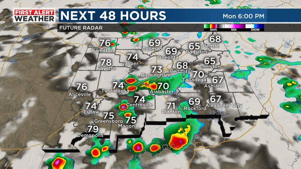
BIRMINGHAM, Ala. (WBRC) - First Alert AccuTrack shows a few isolated showers lingering south and east of I-20 this evening, pushing toward I-85 in east-central Alabama. The rest of us are drying out as a cool front makes its way across the state. Behind the front, temperatures have already fallen into the 60s across much of northwest Alabama with the rest of us still holding onto 70s this evening. Any lingering storms should clear our area within the next hour or so, making for a drier night under a partly cloudy to mostly cloudy sky.
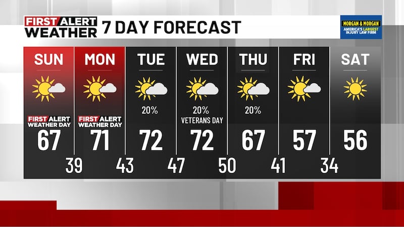
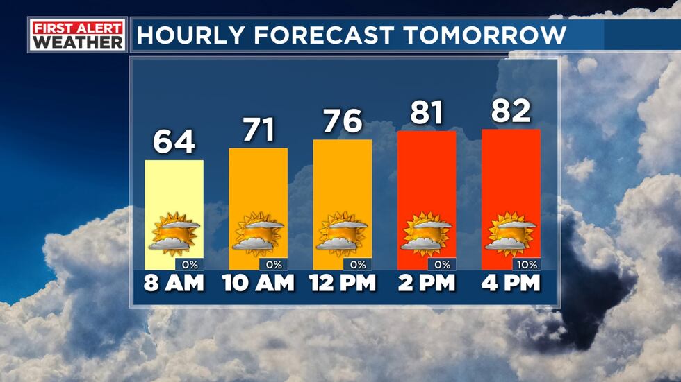
For the rest of the weekend, rain chances look much lower, but we can’t rule out a few isolated showers in our southeast counties late Sunday afternoon. Otherwise, most of us will stay dry with lows near 60 and highs in the low 80s under a partly sunny sky for Sunday. And it won’t be quite as muggy. So, if you need to get any yard work done, Sunday will be the day to do it!
As we have been discussing over the past few days, the weather pattern still remains uncertain for next week. Lingering disturbances slowly meandering through the Southeast coupled with easterly flow at the surface result in a complicated forecast in the coming days. Right now, more moisture looks to be around early in the week, so we have bumped rain chances up to 30-40% for Monday and Tuesday. Widely scattered showers and a few storms will be possible, bringing heavy downpours and breezy conditions at times. We expect a partly sunny to mostly cloudy sky to start the week. Temperatures are also difficult to pin down in this setup, but for now we are leaning toward upper 70s and low 80s for afternoon highs through the middle of the week. Morning lows will likely hang out in the low to mid 60s through Tuesday before the arrival of some drier air on Wednesday could drop lows back down into the upper 50s for the latter half of the week. With the degree of uncertainty with this forecast, we have kept a 10-20% chance of showers Wednesday through Friday with highs rebounding into the low 80s under a mix of sun and clouds.
As with next week’s forecast, there is plenty of uncertainty surrounding the Memorial Day weekend forecast too, and we will have to see how the weather pattern evolves in the coming days. Right now, the weather looks fairly seasonable with lows near 60 and highs in the low to mid 80s under a partly cloudy sky and just isolated storms possible. Humidity also looks to possibly be on the rise again by next weekend, fittingly setting us up for the unofficial start of summer!
Make sure you download the WBRC First Alert Weather App for more information -- especially with this complicated forecast.
Get news alerts in the Apple App Store and Google Play Store or subscribe to our email newsletter here.
Copyright 2023 WBRC. All rights reserved.