FIRST ALERT: Breezy conditions Thursday night into Friday morning
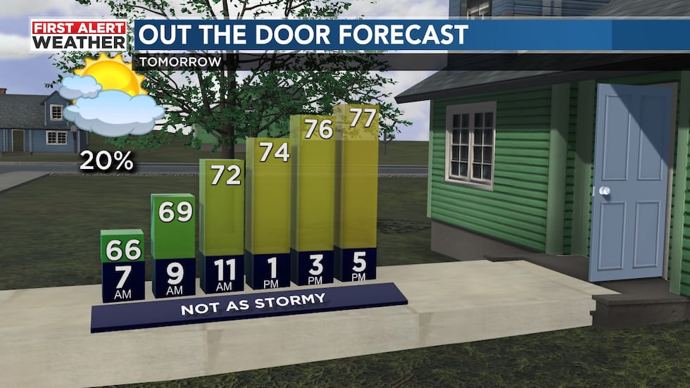
BIRMINGHAM, Ala. (WBRC) - First Alert AccuTrack shows some lingering scattered showers and storms this evening that have been producing heavy rain, gusty winds, lightning, and hail across parts of our area. Storms should become more isolated after midnight, but even as storms diminish, expect breezy conditions to stick around overnight as a wedge of cooler and slightly drier air builds in from the east. Winds will be out of the east-southeast at 10-15 MPH with gusts up to 20 MPH possible under a mostly cloudy sky. If you are tired of the rain, I have some good news for you. Tomorrow is looking mostly dry. We still can’t rule out a few isolated showers, but it won’t be as soggy and wet as this week has been so far. We’ll likely start tomorrow morning off with a mostly cloudy sky with temperatures in the mid 60s. I think we’ll end up mostly cloudy tomorrow with southeast winds at 5-10 mph. Temperatures are forecast to warm into the upper 70s with only a 20-30% chance for a few showers. If you have any Friday evening plans, we’ll likely remain dry with temperatures cooling into the lower 70s by 7-8 p.m. CT.
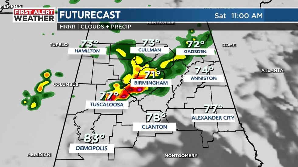
Next Big Thing: The big story over the weekend is the chance to see another round of showers and storms Saturday. The Storm Prediction Center is highlighting a marginal risk - threat level 1 out of 5 - for Central Alabama Saturday. The main threat will be strong winds and large hail. The majority of us will likely see another round of heavy rain and frequent lightning. We are looking at a mostly cloudy sky Saturday with a 60% chance for showers and storms. High temperatures could briefly warm into the lower 80s Saturday afternoon, but rain-cooled air will likely keep most of us in the mid to upper 70s. The best chance to see rain will likely occur anywhere from mid-morning through the early evening hours. We will likely trend drier late Saturday evening.
Dry Sunday: If you want to knock out some yardwork this weekend, Sunday is your day. We will likely see drier air move into Central Alabama making it feel nice. Sunday morning could start out near 60 degrees with a partly cloudy sky. We will likely remain dry Sunday afternoon with a partly cloudy sky with highs approaching 80°F.
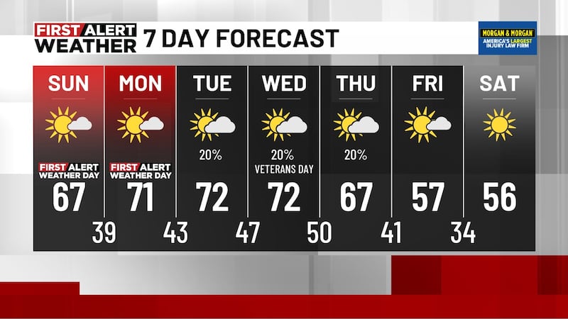
Mostly Dry Next Week: Though the long-range models do not agree on how the weather pattern will evolve next week, we are leaning toward the drier solution for now with each day featuring sunshine and a few passing clouds. Temperatures appear close to average with highs in the low to mid 80s with overnight lows in the upper 50s and lower 60s. The air won’t be quite as muggy either. Remember though, with the uncertainty regarding next week’s weather pattern, make sure you’re staying up to date on the WBRC First Alert Weather App as we fine-tune the forecast in the coming days.
Make sure you download the WBRC First Alert Weather App for the latest weather information.
Get news alerts in the Apple App Store and Google Play Store or subscribe to our email newsletter here.
Copyright 2023 WBRC. All rights reserved.