First Alert: Tornado Watch for west central Alabama until 2 a.m.
BIRMINGHAM, Ala. (WBRC) - A Tornado Watch has been put in place for west central Alabama until 2 AM CT.

A Flood Watch is in place now through 7 a.m. Monday morning for the following central Alabama counties: Bibb, Chilton, Greene, Hale, Perry, Pickens, Sumter and Tuscaloosa. This is in effect because an additional 1 to 2 inches of rain is expected this evening and into the overnight hours on top of saturated soils in place.
Happy Sunday and Happy Father’s Day! First Alert AccuTrack is showing a storm in west Alabama right now. Showers and storms are expected overnight, expect heavy rain, damaging winds, and a possible tornado (especially areas to our west) as we head into Monday. Temperatures will drop into the upper 60s and low 70s overnight.

Severe Storms Tonight and Monday morning: Severe storms are possible this evening mostly likely from around 9 p.m. to 7 a.m. An enhanced risk is in place for our southwest Alabama counties including Tuscaloosa, Bibb, Pickens, Greene, Hale, Sumter, Perry, and Chilton counties. The main threat for these areas is hail, a tornado, and damaging winds up to 70 mph. A slight risk is in place for most of the rest of our counties excluding areas in the northeast (east Etowah, Cherokee, east Calhoun, Cleburne and Randolph counties) who are under the marginal risk. Any severe storms that occur this evening through Monday are capable of producing damaging winds and hail. A tornado can’t be ruled out. Rain coverage is around 80% tonight.

Stormy Juneteenth: Monday is unfortunately trending stormy across Central Alabama. There is a marginal risk for severe storms across central Alabama on Monday. We’ll have a disturbance approach us giving us rounds of showers and storms. Severe storms are possible with the risk of damaging winds and large hail. We are forecasting a mostly cloudy sky with an 70% chance for showers and storms. Highs are forecast to reach the mid 80s. Monday morning looks to be wet and stormy, so make sure you tune in to Good Day Alabama for updates.

Highs are forecast to reach the mid 80s. Monday morning looks to be wet and stormy, so make sure you tune in to Good Day Alabama for updates.
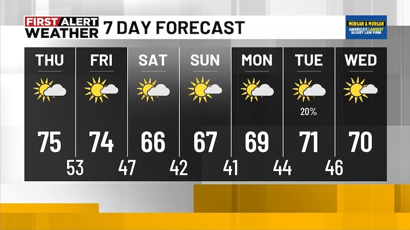
Unsettled Weather Next Week: The stormy pattern will likely continue for most of next week. Rain chances remain elevated at 70% on Tuesday and 50% to 60% chance on Wednesday. Rounds of storms will likely remain across the Southeast. High temperatures are forecast to only climb into the low 80s for most of the week.
Make sure you download the WBRC First Alert Weather App for the latest weather information.
Get news alerts in the Apple App Store and Google Play Store or subscribe to our email newsletter here.
Copyright 2023 WBRC. All rights reserved.