FIRST ALERT: Severe storms expected Wednesday night into Thursday morning
BIRMINGHAM, Ala. (WBRC) - Wednesday, March 30, 2022, is a First Alert Weather Day. We are forecasting a squall line to develop to our west and approach west Alabama around 6 p.m. Wednesday. The line will advance to the east and impact the rest of Central Alabama between 6 p.m. Wednesday and 4 a.m. Thursday. The line will be capable of producing numerous severe thunderstorm and tornado warnings. The widespread concern is damaging straight line winds up to 80 mph. That’s wind strong enough to knock trees down, damage the exterior of houses and businesses, push or overturn manufactured homes, push vehicles off the roadway, and toss around debris. Events like this can impact more people due to the large swath of wind expected to move through the area.
Make sure you have multiple ways to receive warnings Wednesday evening and Wednesday night. Download the WBRC First Alert Weather App and make sure you have fresh batteries for your NOAA Weather Radio. Know where to go in case a warning is issued. Manufactured homes will not be a safe place to stay during this event. We encourage everyone to find a sturdy foundation to take shelter as damaging winds could result in numerous trees going down. I also recommend staying in a centralized part of your home away from any large trees. With strong winds, trees could go down on homes.
The Storm Prediction Center has upgraded west Alabama to a rare moderate risk (red) - threat four out of five - for Wednesday. They believe that this area has the greatest chance to see isolated wind gusts up to 80 mph and a few strong tornadoes. The rest of Alabama has been upgraded to an enhanced risk (orange) - threat three out of four - for Wednesday. Areas along I-65 and points to the east could see damaging wind gusts up to 70 mph with the chance for isolated tornadoes. The primary threat will be damaging winds, but a few storms along the main line could spin-up and produce tornadoes. The line will also contain frequent lightning and very heavy rainfall. There’s a low threat for isolated storms (supercells) to develop ahead of the main line. I think the greatest threat for supercells to form will be in south Alabama IF they form. Numerous severe storms west of I-65 and scattered to the east so everyone needs to be ready!

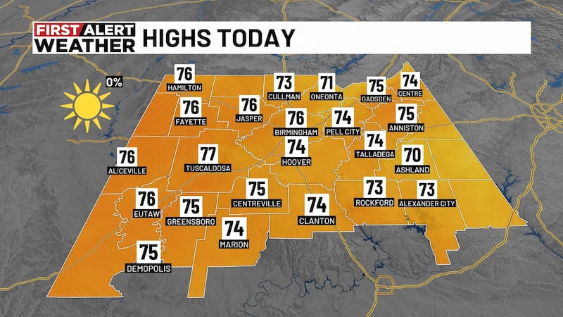
Quiet today, breezy, increasing sunshine! Highs in the upper 70s and lower 80s. By the evening hours, our Next Big Thing will erupt across parts of Kansas, Oklahoma, and Texas. Locally, quiet and in the lower 70s.
Wednesday starts off dry and in the upper 50s and lower 60s. Winds will likely increase during the day. A wind advisory has been issued for all of Central Alabama starting at 9 a.m. It is set to expire Thursday at 4 a.m. Plan for southerly winds tomorrow at 15-25 mph with isolated wind gusts up to 40-50 mph ahead of the stormy weather. With a saturated ground and high wind gusts before the storms, we can’t rule out trees falling and resulting in sporadic power outages tomorrow afternoon. Make sure you secure outdoor objects such as furniture and trash cans. If you don’t, they could end up in your neighbor’s yard. Keep all electronics charged during the day in case you lose power. Temperatures Wednesday afternoon are forecast to warm into the low to mid 80s with a mostly cloudy sky. A squall line - a line of intense storms producing damaging winds - will likely move into west Alabama between 6-7 p.m. The line will advance to the east producing damaging winds and the threat for spin-up tornadoes. Once the main line moves through, the severe threat will diminish quickly with heavy rain continuing across the area. Rainfall totals could add up around 1-2 inches and localized flooding can’t be ruled out. The severe threat should end in east Alabama by 4 a.m. Thursday.
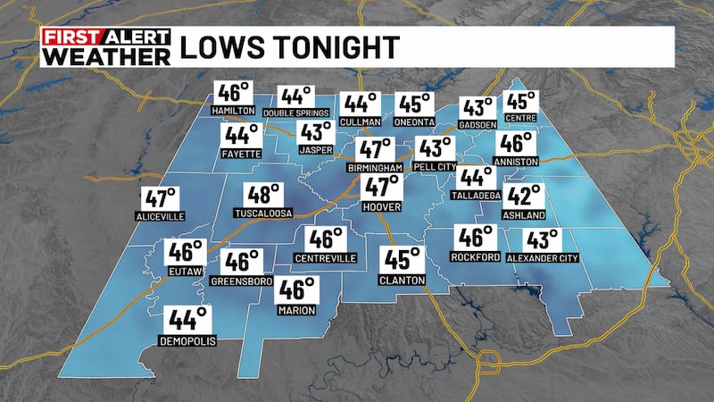
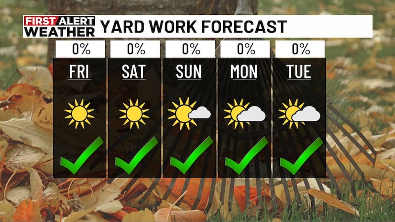
Thursday is looking mostly dry with only a lingering shower possible early in the morning. We should see decreasing cloud cover with highs in the upper 60s and lower 70s. Thursday night looks chilly as northerly winds return. Temperatures are forecast to cool into the low to mid 40s Friday morning. Friday is looking quiet and nice with a partly cloudy sky with highs in the mid to upper 60s.
The upcoming weekend is looking mostly dry. Models are hinting at a disturbance that could produce showers and thunderstorms along the Gulf Coast Saturday. Latest runs hint that most of the moisture will stay south of Central Alabama. We will hold on to a 20 percent chance for a stray shower south of I-20, but if the dry trend continues, we may remove the 20 percent rain chance. Most of us will see highs in the lower 70s with a partly to mostly cloudy sky Saturday. Sunday is looking beautiful with a mostly sunny sky with highs approaching 70°F. Models hint that another cold front could move into Central Alabama next Tuesday. It remains too far out to determine if we’ll see severe weather, but it is a possibility. Monday looks dry with highs in the mid 70s. Rain and storms return Tuesday into Tuesday night giving us heavy rainfall and the potential for strong storms. We will have more updates on this system as we approach the weekend. We must get through tomorrow first!
Frequent updates on all platforms.
CLICK HERE TO GET THE WBRC FOX6 NEWS APP
Subscribe to our WBRC newsletter and receive the latest local news and weather straight to your email.
Copyright 2022 WBRC. All rights reserved.