First Alert Weather: Sunny start to week, colder air expected late in the week
BIRMINGHAM, Ala. (WBRC) - Happy Monday!
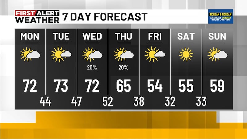
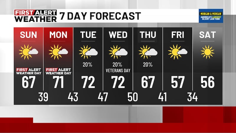
TODAY: We’re expecting a beautiful start to the workweek across north and central Alabama! Plenty of sunshine should help temperatures climb into the lower 70s this afternoon.
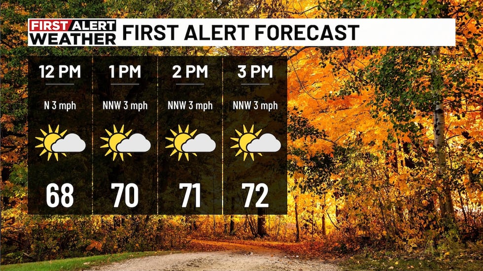
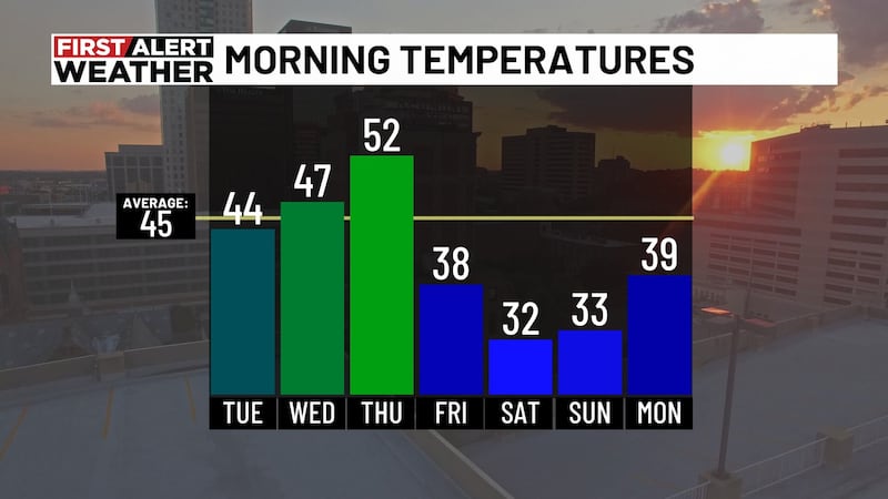
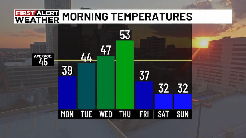
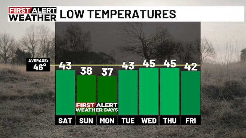
THE NEXT 24 HOURS: Mostly clear skies tonight should allow temperatures to fall into the 40s by Tuesday morning, a little milder than it was this morning. Look for mostly sunny skies tomorrow, with highs near 73 and light to calm winds.
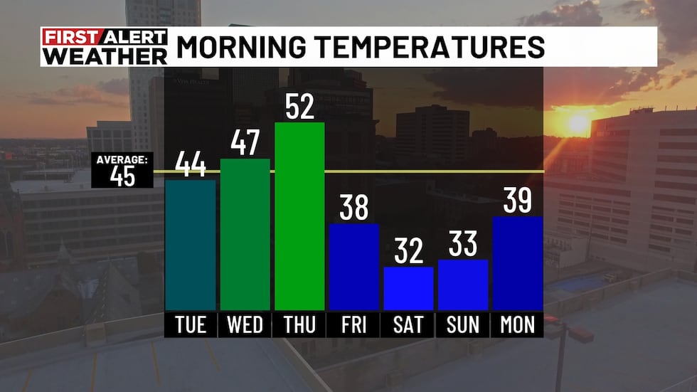
Veterans Day Wednesday should start with sunshine, followed by increasing clouds. Afternoon highs should reach the lower 70s.
THE NEXT BIG THING: A big change is on the way late in the week. After clouds increase Wednesday, a few showers could develop Wednesday night into Thursday, although widespread rain isn’t expected. Thursday’s highs should reach the mid-60s before much colder air moves in.
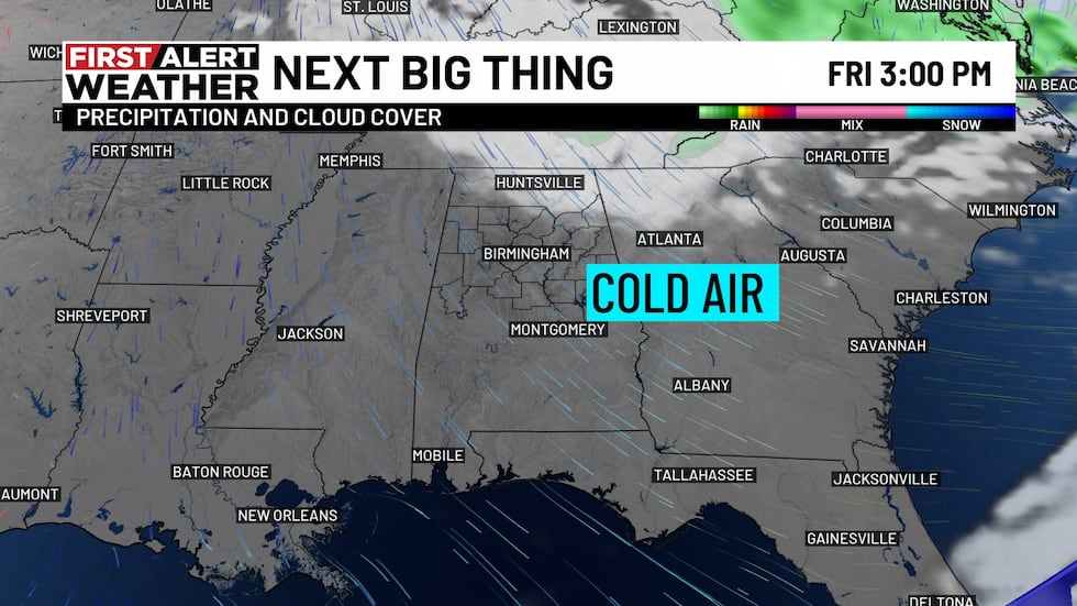
By Friday, afternoon temperatures may only reach the lower 50s, with overnight lows near freezing.
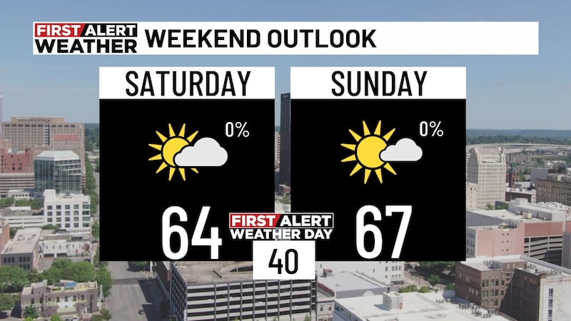
THE WEEKEND: Saturday morning could bring temperatures near or below freezing, especially in our northern communities. Saturday should bring plenty of sunshine, but highs may only reach the mid-50s.
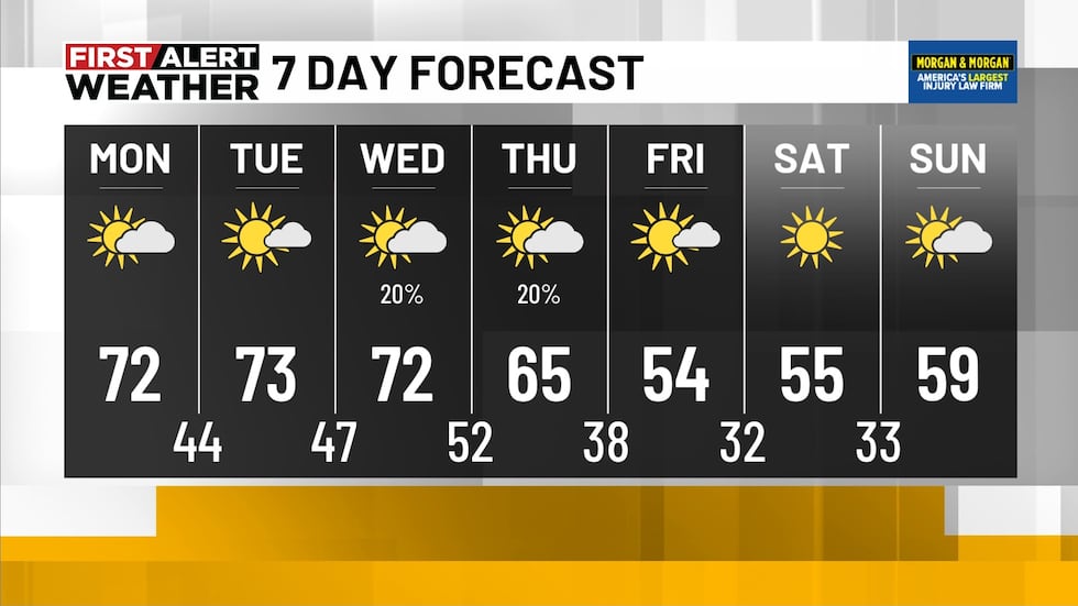
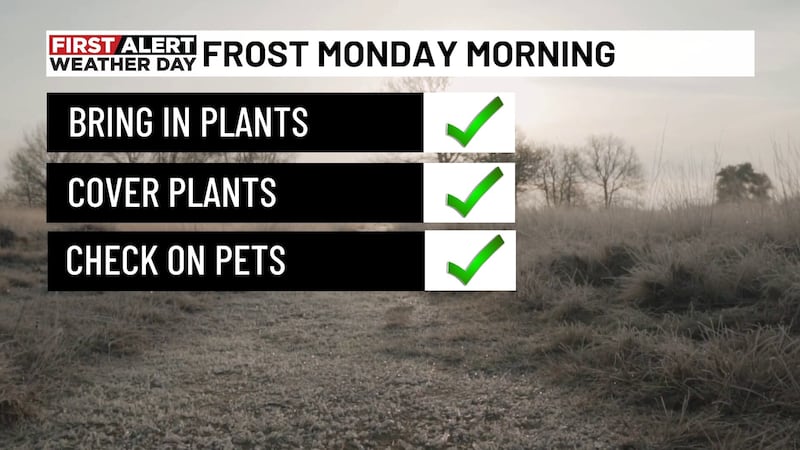
Sunday morning could be chilly, too, with lows in the lower 30s before afternoon highs approach 60. If you have sensitive plants outdoors, keep an eye on those weekend temperatures!
Make sure you download the WBRC First Alert Weather app on Android and Apple devices for the latest weather information.
You can also watch on our free streaming app for Roku, Apple TV and Amazon Fire TV.
Submit your weather photos, videos
Get news alerts in the Apple App Store and Google Play Store or subscribe to our email newsletter here.
Copyright 2026 WBRC. All rights reserved.