FIRST ALERT: Scattered storms & periods of rain possible overnight
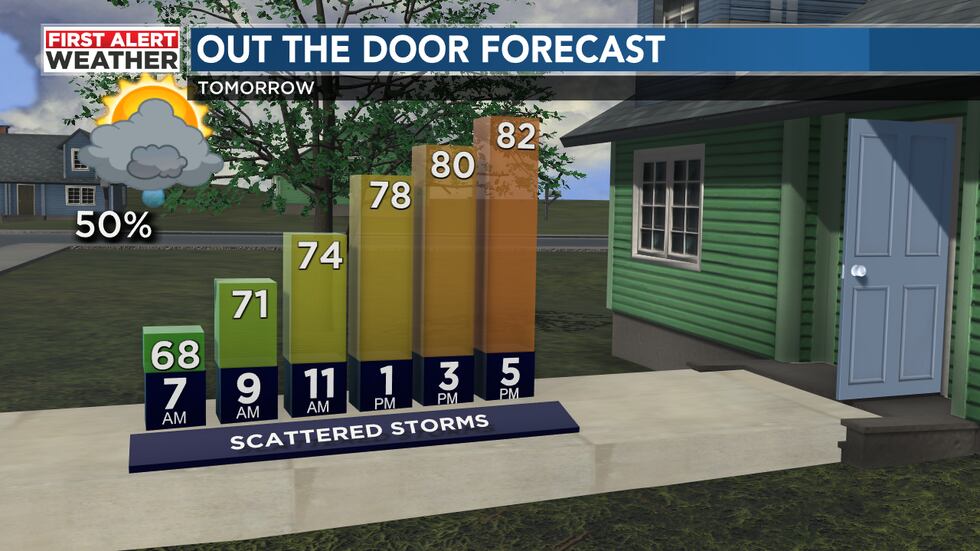
BIRMINGHAM, Ala. (WBRC) - First Alert AccuTrack shows a decaying line of scattered storms pushing east-northeast of I-65 this evening. On the south and west side of these storms, widespread rain with embedded thunderstorms is slowly building in behind these, bringing wet weather to our southwest counties. Though the severe threat is very low, scattered storms will be capable of producing frequent lightning, small hail, heavy downpours, and gusty winds. The batch of rain to the southwest could also lead to localized flooding in and around the I-20/59 corridor. So, scattered rain and storms will be possible overnight under a cloudy sky with mild and humid conditions in place. We will likely wake up to a cloudy sky Friday morning with temperatures in the mid 60s. Tomorrow’s best chance for rain will likely occur during the first half of the day. With plenty of clouds and scattered showers, temperatures will likely trend closer to average with highs in the low to mid 80s. Upper 70s can’t be ruled out in parts of north Alabama. Rain chance tomorrow is up to 40-50% with southeast winds continuing at 5-10 mph.
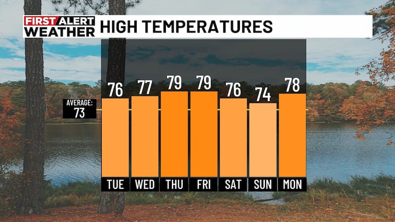
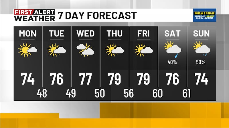
Mother’s Day Weekend Forecast: If you plan on taking mom out for lunch/dinner this weekend, you’ll want to monitor the First Alert Weather app. Storm chances will end up lower than the past couple of days, but we still can’t rule out at least some isolated showers and storms Saturday and Sunday. Rain chance around 30%. Any storm that develops this weekend will have a chance to become strong or severe. The main threat will be strong wind gusts and large hail. The big story this weekend is the heat and the humidity. We could see highs climb into the mid to upper 80s on Saturday. High temperatures could approach 90°F in many spots on Mother’s Day. When you factor in the humidity, it’ll likely feel like it is in the mid to upper 90s. If you plan on working outside, make sure you stay hydrated and take several breaks. With a partly cloudy sky both days, the UV Index will remain very high. Don’t forget to protect your skin and apply SPF 15+ sunscreen every two hours. Burn time can occur within 15-30 minutes. It will definitely be a hot weekend for the Regions Tradition in Hoover, Alabama.
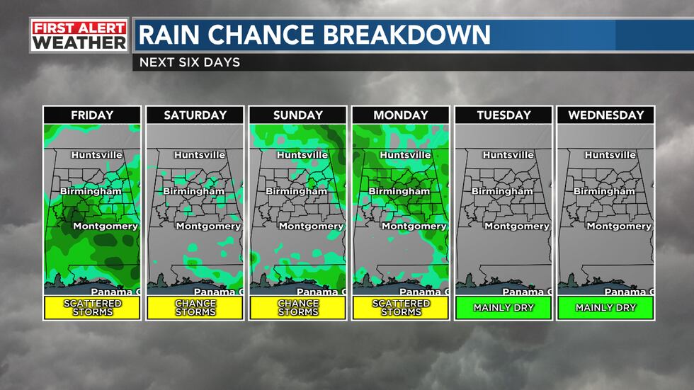
Scattered Storms Early Next Week: Long-range weather models are hinting at a weak cold front that could push into Central Alabama next Monday and Tuesday. With plenty of heat and humidity, storm chances may increase to 40% for Monday. Long-range weather models don’t agree on the placement of the cold front for the middle and end of next week. The European model dries us out and allows our temperatures to cool near average. The GFS model keeps the front stalled with scattered showers and storms possible across the southern half of the state. I think we’ll hold on to an isolated storm for the middle of next week with highs in the low to mid 80s with morning temperatures in the upper 50s and lower 60s. Make sure you download the WBRC First Alert Weather App for the latest weather information.
Get news alerts in the Apple App Store and Google Play Store or subscribe to our email newsletter here.
Copyright 2023 WBRC. All rights reserved.