First Alert Update: A stormy pattern ahead; rising temperatures
BIRMINGHAM, Ala. (WBRC) - Happy Friday!
THE NEXT 24 HOURS: We’ve entered into a more unsettled pattern that will continue through next week. That said, most areas are dry tonight, with a mostly cloudy sky. Temperatures will start out in the 50s Saturday morning, with the chance for a stray shower or two continuing into the early morning. We will have some cloud breaks, with a much warmer day. Highs will reach the upper 70s and lower 80s. The good news is the short term guidance has trended drier during the day, but we will need to keep an eye out for a possible shower or storm in the afternoon or evening.
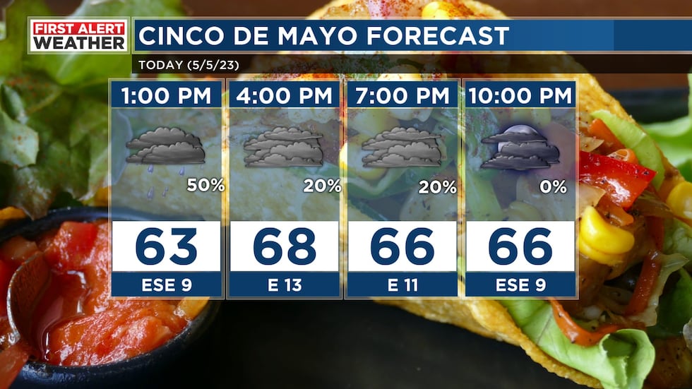
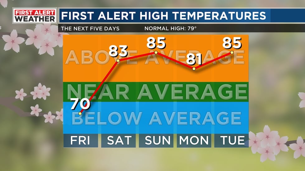
Weekend Forecast: The weather pattern for this weekend remains very tricky. The latest trends are now showing lower rainfall coverage across Central Alabama for Saturday and Sunday. Confidence is increasing for drier weather Saturday. We will likely start tomorrow morning off mostly cloudy with temperatures in the upper 50s. We are forecasting a partly to mostly cloudy sky Saturday afternoon with a 30% chance for isolated showers and storms. Temperatures will likely climb above average with most of us warming up into the low to mid 80s.
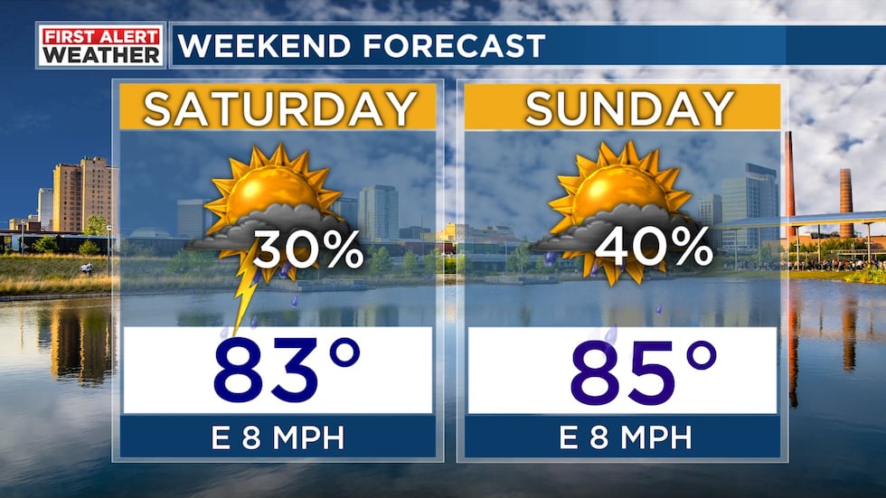
If a thunderstorm develops tomorrow, we can’t rule out a strong or severe storm. The main threats will likely be heavy rain, frequent lightning, strong winds, and hail. Sunday will end up similar to Saturday with slightly warmer temperatures. I think we’ll start Sunday out in the low to mid 60s with a partly cloudy sky. Rain chance on Sunday is up around 40%. Temperatures could climb into the mid to upper 80s. With higher humidity levels, the heat index could climb near 90°F. It is going to be a muggy and warm weekend across Central Alabama. Just remember that if you have any outdoor plans over the weekend, to monitor the first alert weather app. If you hear thunder or see lightning, that is your cue to go inside. When thunder roars, go indoors!
Stormy Start to Next Week: The latest trends are showing a greater chance for showers and storms next Monday and Tuesday. I’ve increased our rain chance to 50-60% for both days. Storm chances will be possible at any point thanks to this weather pattern. We call it “northwest flow” as storms develop to our northwest and slide to the southeast. Determining when and where these storms develop can be very tricky. These kinds of setups can produce strong and severe storms. The main threats are normally damaging winds and large hail. This pattern can also bring a lot of wet weather to some locations while others remain mostly dry. Temperatures are forecast to remain in the 80s with lows in the 60s to start out the second week of May. We will hold on to a muggy, warm, and unsettled pattern going into the middle and end of next week. Temperatures could climb into the upper 80s by next Wednesday and Thursday. It wouldn’t surprise me if parts of south-central Alabama heat up near 90°F.
Rainfall Potential: Rainfall potential is tricky for the next several days. We could see several spots staying relatively dry while others receive significant rainfall. The Weather Prediction Center is forecasting 0.5″-1″ of rain for the next five days. Higher totals will likely occur in west Alabama and into Mississippi. Please note that if storms fire up, we could see spots receiving a couple of inches of rain. Flood threat remains low in this setup since most storms that develop will move through quickly.
This setup will continue Sunday and through most of next week. There will be plenty of periods of dry weather in the mix, but check in as we continue to fine tune the timing. We will remain in an active flow pattern, with several disturbances enhancing rain chances at times. These setups are very tricky to time out beyond 24 hours, so check in daily for updates. We will also experience a big temperature transition, with highs back in the 80s. The clouds and higher rain chances will help keep highs in the 80s, with lows in the 60s. Be sure to download our FREE WBRC First Alert Weather App for precipitation and lightning alerts. We will also have frequent updates on WBRC Fox6 News.
Make sure you download the WBRC First Alert Weather App on Apple and Android devices for the latest weather information.
Get news alerts in the Apple App Store and Google Play Store or subscribe to our email newsletter here.
Copyright 2023 WBRC. All rights reserved.