First Alert Weather: One more dry day before storms return
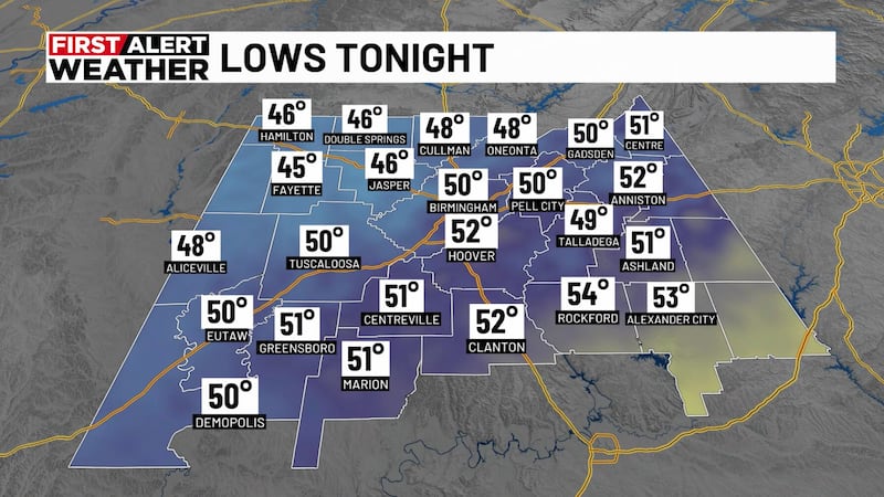
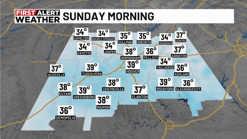
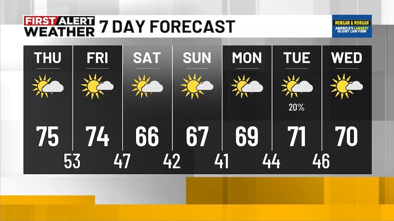
BIRMINGHAM, Ala. (WBRC) - After another beautiful and pleasant May day, we have a mostly clear sky across Central Alabama tonight on First Alert AccuTrack. Winds continue to become light and variable, finally calming down after a breezy stretch over the past few days. Tomorrow morning will likely be our last dry and cool start to the day for the next seven days. Temperatures will likely start out in the mid to upper 40s with a mostly clear sky. Thursday will end up beautiful with high temperatures climbing into the mid to upper 70s. Winds will remain light from the northwest at 5-10 mph. We will likely see increasing clouds late tomorrow afternoon, but no rain is expected. The sky will likely end up mostly sunny to partly cloudy tomorrow afternoon. Looking dry if you have any plans to celebrate Star Wars Day -- and May the 4th be with you!
Widely Scattered Storms Possible Friday: The big story this week is the return of warmer temperatures and the chance for showers and storms by this weekend. Friday morning will likely start out dry with a mostly cloudy sky with a few light rain showers possible. Temperatures are forecast to end up a little warmer with most of us waking up in the mid 50s. Our weather models are showing a weakness in the weather pattern that could allow showers and storms to develop in parts of Arkansas and Tennessee and slide to the southeast. The latest trends show a slightly higher chance for showers and storms developing in parts of west-northwest Alabama Friday afternoon and evening. I bumped up the rain chance to 40% with highs approaching 80°F Friday afternoon. If you have any plans to grab dinner or lunch for Cinco de Mayo on Friday, just check the WBRC First Alert Weather app to see if any showers or storms are nearby.
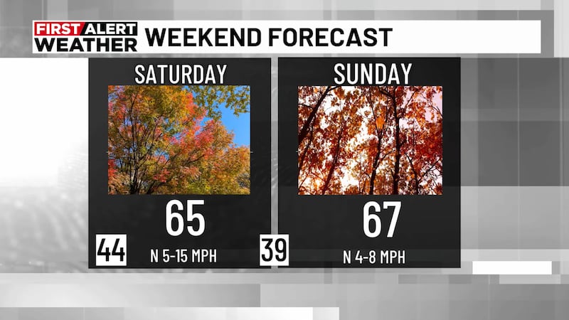
Next Big Thing: Northwest flow will become the dominant weather feature impacting the Southeast over the weekend and into the first half of next week. Disturbances will likely ride along a ridge of high pressure giving us waves of showers and storms. The big question is knowing when and where these storms develop. Long-range models normally have a difficult time pinpointing specific information in this kind of setup. A pattern like this can produce showers and storms during the day and in the overnight hours. We could see storms Friday night into Saturday morning and another chance for storms Saturday into Sunday. I have a rain chance up to 50% for Saturday with a slightly lower chance for rain and storms Sunday at 40%. Storms over the weekend will have the potential to become strong or severe. The main threats will be heavy rain, strong wind gusts, and hail. Humidity levels over the weekend will likely increase, so it will feel a little muggy. High temperatures Saturday and Sunday could climb into the low to mid 80s with overnight lows in the 60s.
Stormy Pattern Continues Next Week: We will likely have to watch storm development to our northwest for the first half of next week. We are forecasting a partly sunny to mostly cloudy sky through the middle of next week. Temperatures will likely end up above average with highs in the low to mid 80s. Upper 80s can’t be ruled out early next week for areas south of I-20. Rain and storm chances will be possible at any point during the day. I’m holding on to a 40% chance for rain Monday through Wednesday. Overnight lows will remain warm with temperatures in the 60s. It will likely remain muggy going into next week.
Make sure you download the WBRC First Alert Weather app on Apple and Android devices for the latest weather information.
Get news alerts in the Apple App Store and Google Play Store or subscribe to our email newsletter here.
Copyright 2023 WBRC. All rights reserved.