First Alert Weather: Breezy again Wednesday, rain/storms return later this week
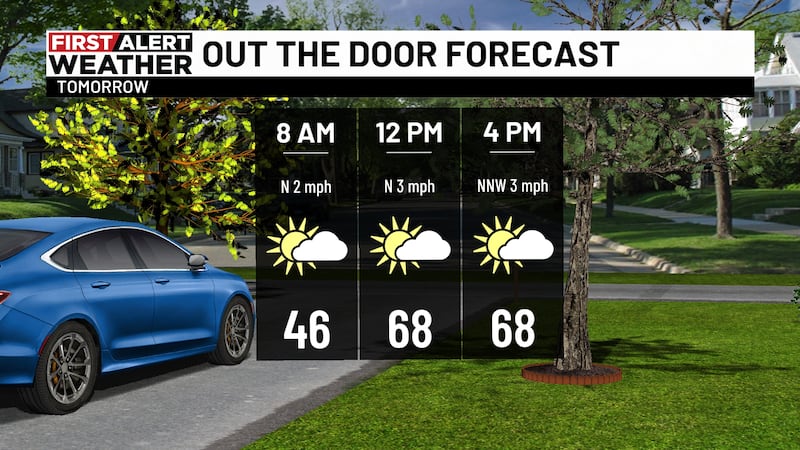
BIRMINGHAM, Ala. (WBRC) - The wind speeds have decreased tonight, but a light breeze will continue past midnight. This will add to the chill as temperatures tumble into the 40s. The sky will remain clear, with a bright moon overhead. We’re approaching the next full moon, which happens on Friday. The dry weather will continue through tomorrow, but plan for another breezy day. We may not see wind advisory levels; however, gusts may top 20 mph out of the north in some areas. Otherwise, expect lots of sunshine, with highs in the 70s. The wind will settle tomorrow night, with lows in the 40s.
THE NEXT BIG THING: A tight pressure gradient due to a storm system northeast of Alabama has made for a windy week. This system will finally move east by Thursday making for calmer conditions. The dry weather will continue into Thursday, with afternoon highs in the upper 70s. It will start to feel more humid Friday and into Saturday, with the next chance for rain and storms.
The end of the week and weekend certainly doesn’t look like a complete washout, but it could be stormy at times. We’re getting into the time of year when clusters of showers and storms move in from the northwest. We could see some showers and storms tracking southeast across the area Friday night and into Saturday, then again for Saturday into Sunday. It looks like rain chances will continue into the start of next week. Also, plan for warmer-more humid conditions, with highs in the 80s. We will have more specifics on timing on WBRC Fox6 News and on the WBRC First Alert Weather App.
Get news alerts in the Apple App Store and Google Play Store or subscribe to our email newsletter here.
Copyright 2023 WBRC. All rights reserved.