FIRST ALERT: Showers & storms return for Friday night
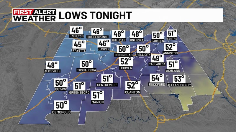
BIRMINGHAM, Ala. (WBRC) - Though we had a simply beautiful and warm, dry spring day across Central Alabama, First Alert AccuTrack Satellite and Radar shows a storm system moving across the Central U.S. and making a beeline for the Deep South over the Next 24 Hours. Before any rain arrives here on Friday, temperatures will remain comfortable this evening with a south wind at 5-10 MPH.

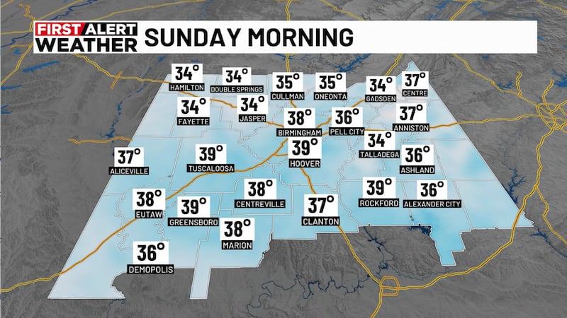
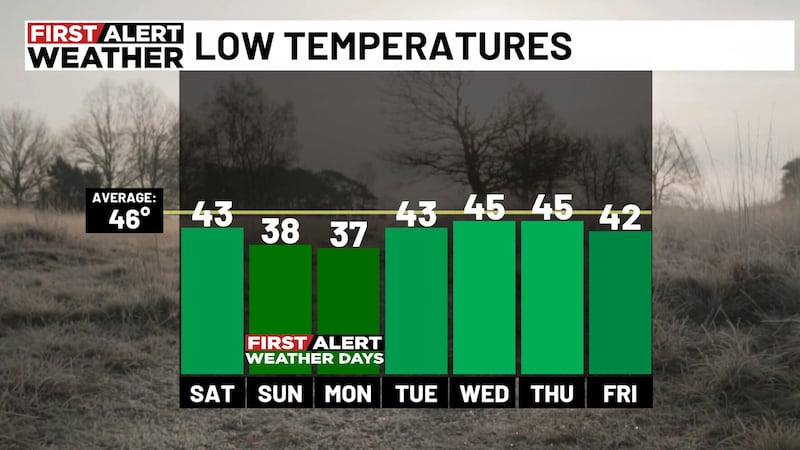
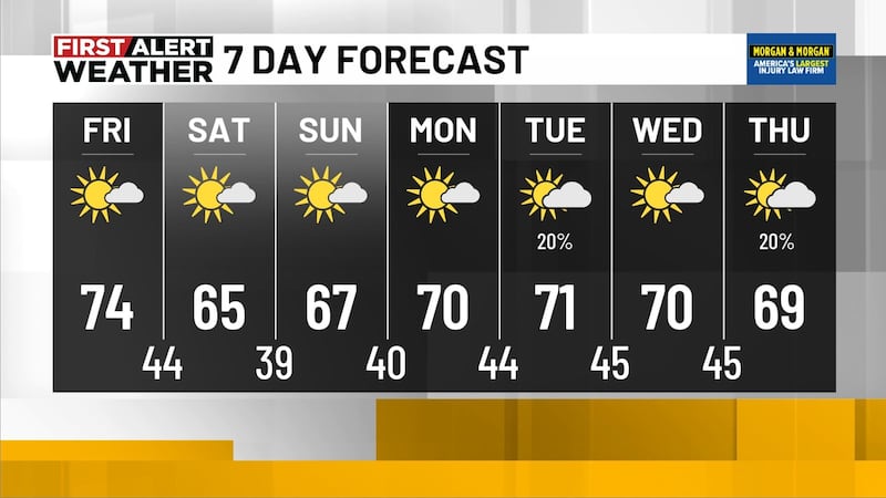
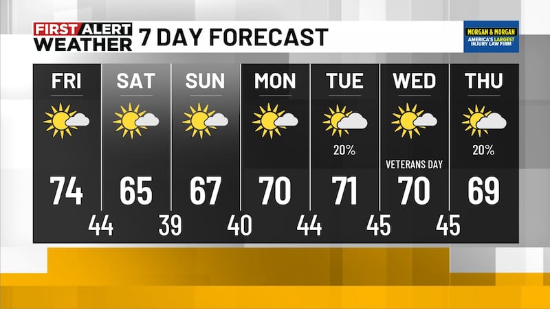
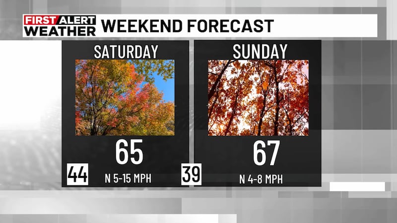
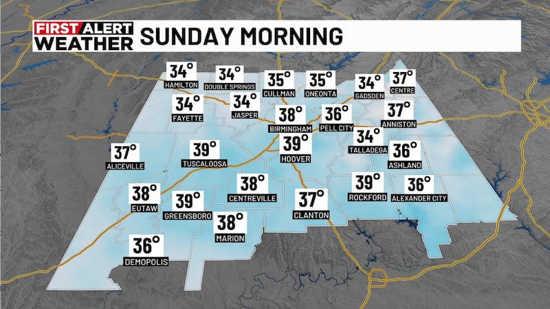
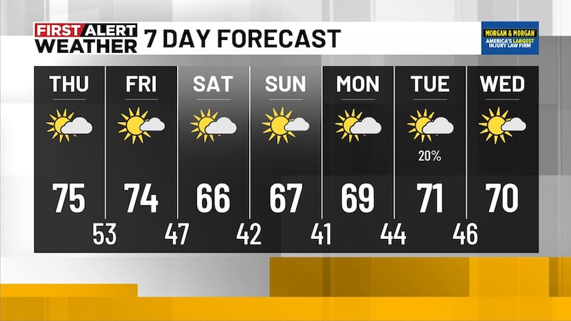
Next Big Thing: The big story this week is the arrival of a cold front over the weekend. Our best chance to see showers and storms will likely occur Friday night into Saturday morning. A few showers will be possible during the afternoon hours, but the main batch of rain won’t arrive until the evening. We will likely see scattered showers and a few storms Friday night with a chance of rain at 70%. Rain will likely move into west Alabama close to sunset Friday evening and move out of east Alabama around sunrise Saturday morning, giving us drier weather for the rest of the weekend. Severe weather is not expected across Central Alabama. The severe threat will stay to our west Friday in parts of southeast Texas, Louisiana, and the western half of Mississippi. Rainfall totals aren’t too impressive with this cold front. I think most locations will end up with a quarter to a half inch of rainfall through Saturday morning. Higher totals will be possible in northwest Alabama. Temperatures Saturday afternoon have trended slightly warmer with highs in the lower 70s with breezy conditions sticking around. Cool and dry air will move into Central Alabama Saturday night giving us a chilly start to Sunday morning. Temperatures Sunday morning are forecast to drop into the low to mid 40s with upper 30s possible in our cooler spots to the north. Sunday should remain mostly dry and cool with only a stray shower possible across west Alabama. Clouds should linger Sunday, so plan for a partly sunny sky with highs in the upper 60s and staying breezy. You might want to grab a light jacket if you plan on attending Talladega for the big race Sunday.

Next Week: Next Monday is looking mostly dry, but a rainy pattern could set up for the middle and end of next week. Temperatures next Monday could start out in the lower 40s with highs in the upper 60s. Temperatures will likely top out in the upper 60s and low 70/ for next Tuesday and Wednesday. We’ll introduce a small chance for rain Tuesday. Higher rain chances will be possible next Wednesday through Friday with temperatures close to average for late April.
Make sure you download the WBRC First Alert Weather app for the latest weather information.
Get news alerts in the Apple App Store and Google Play Store or subscribe to our email newsletter here.
Copyright 2023 WBRC. All rights reserved.