First Alert: Chilly Monday morning with highs in the 70s
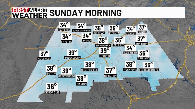
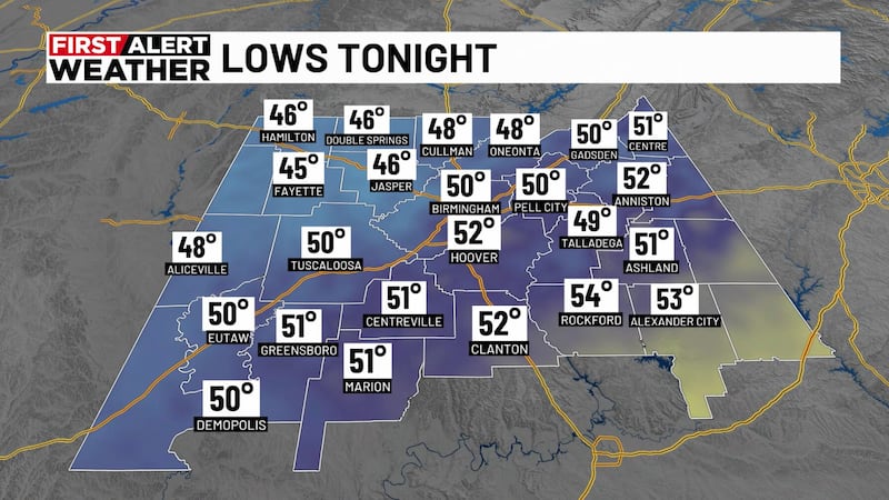
BIRMINGHAM, Ala. (WBRC) - Expect clear skies tonight with dry conditions. It is chilly out there, so bundle up if you have late Sunday night plans. Winds could still be breezy overnight coming from the west around 10 mph and gusting as high as 20.

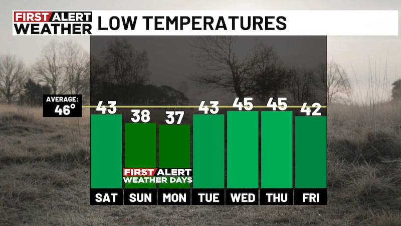
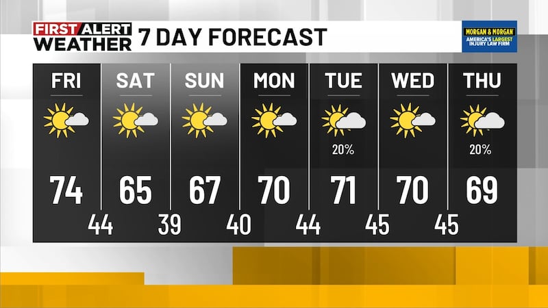
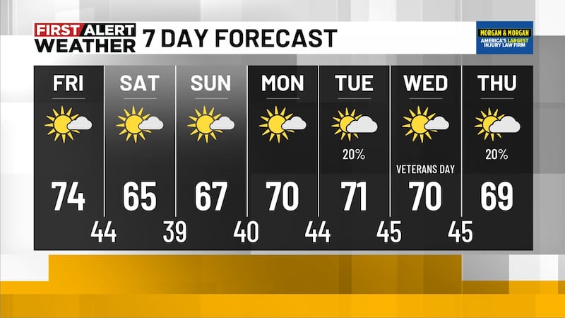
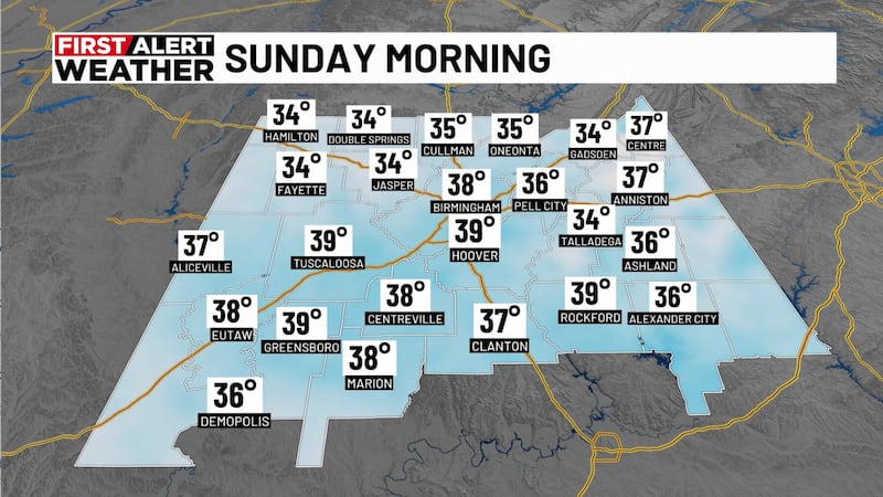
Chilly Monday morning: Monday morning will start chilling in the 40s but will bring highs in the low 70s with west winds of 10 to 15 mph.

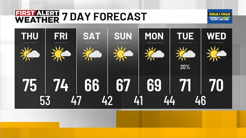
Monday night skies will likely be clear, with a low in the upper 40s. We will see a warming trend throughout this upcoming week. Temperatures Tuesday and Wednesday will warm up into the low to mid 80s and overnight temperatures will cool into the 50s. Thursday could bring daytime highs in the upper 80s with an overnight low in the 60s ahead of our next big thing.

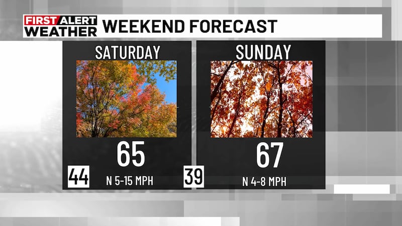
Next Big Thing: The Next Big Thing is the chance for wet and active weather the end of this upcoming week. Thursday looks to end up dry and sunny with a chance for showers and thunderstorms overnight into Friday. We’ll hold a 40% chance for showers and thunderstorms at this time for Friday and a 20% chance for Saturday. Sunday of next week looks sunny with possible high temperatures reaching the upper 60s and low 70s.
Be sure to download the WBRC First Alert Weather App for local weather updates.
Get news alerts in the Apple App Store and Google Play Store or subscribe to our email newsletter here.
Copyright 2023 WBRC. All rights reserved.