First Alert Weather: Patchy morning fog, wet weather returns later on Saturday
BIRMINGHAM, Ala. (WBRC) - The wet weather has exited our area for now, with some clearing. We will need to be alert for patchy dense fog for the early morning; lows will be in the middle 50s.
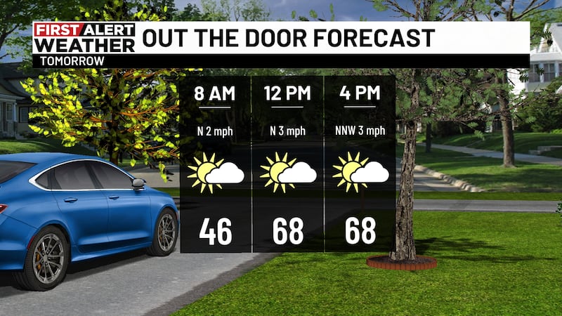
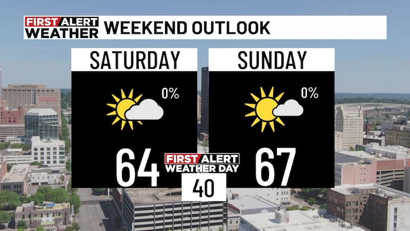
Temperatures will rebound quickly on Saturday with highs near 80º. Some sunshine will be possible for the first half of the day, but clouds will increase in the afternoon.
The chance for rain will be returning to the west by 3PM and increasing across central/eastern areas during the evening. No severe weather is expected, although I can’t rule out a couple of storms. Another increase in rain is expected during the early morning hours on Sunday as a cold front makes its final push across the state. Most of this should exit by late morning on Sunday.
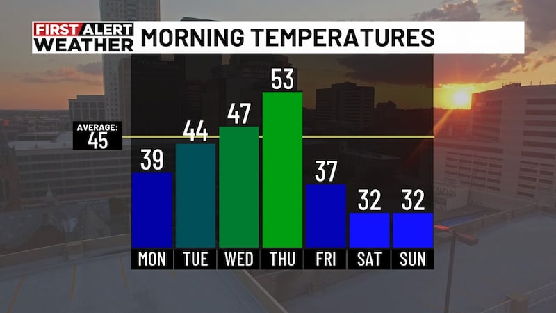
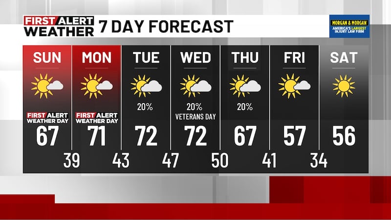
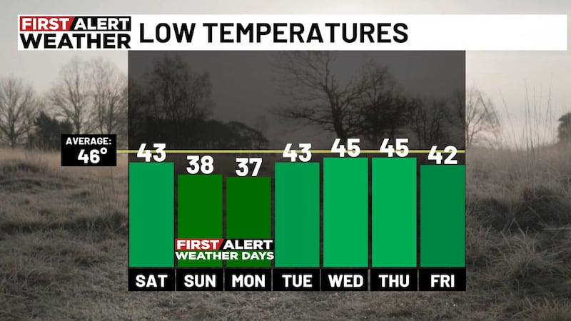
FIRST ALERT FOR A STRETCH OF NICE WEATHER: The next big thing will be a nice stretch of dry weather. Cooler and drier air will settle in Sunday afternoon, with gradual clearing. Temperatures will tumble into the 40s Sunday night, with highs in the low 70s on Monday. We will have more 40s for Tuesday morning, but a big warming trend will begin by the middle of next week.
Daytime temperatures will rebound into the middle 80s by next Friday. We will have lots of sunshine throughout the workweek. Unfortunately, wet weather will be returning next weekend.
Be sure to check the WBRC First Alert Weather app and WBRC FOX6 News for updates throughout the weekend.
Get news alerts in the Apple App Store and Google Play Store or subscribe to our email newsletter here.
Copyright 2023 WBRC. All rights reserved.