First Alert Weather: Chilly Monday morning; 70s by the afternoon
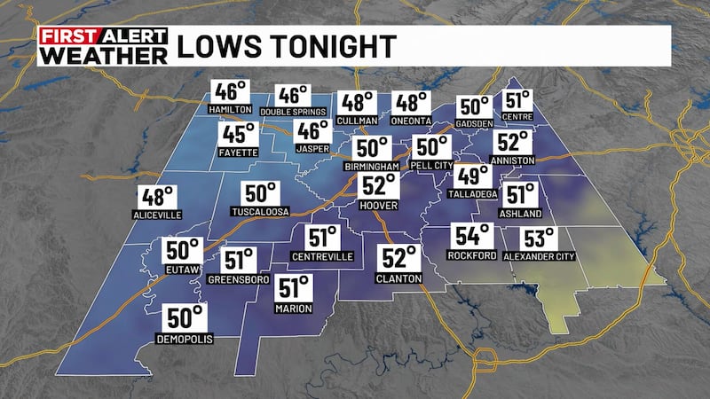
BIRMINGHAM, Ala. (WBRC) - Happy Sunday! Tonight, we will enjoy a partly cloudy sky tonight with an overnight low temperature in the low to mid 40s. There are a few spots that will start Monday morning in the upper 40s. Mainly for counties southwest central Alabama including Pickens, Greene, Hale, Perry, Tuscaloosa, and Bibb counties. We start the week dry with a lot of sunshine! Winds will continue from the east at 5 to 10 mph tonight.
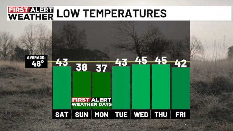
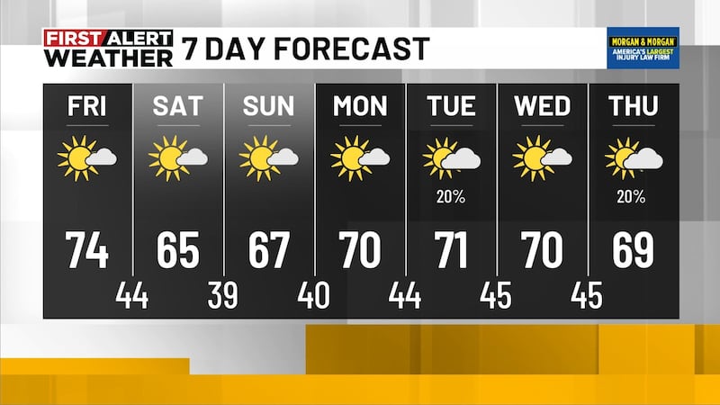
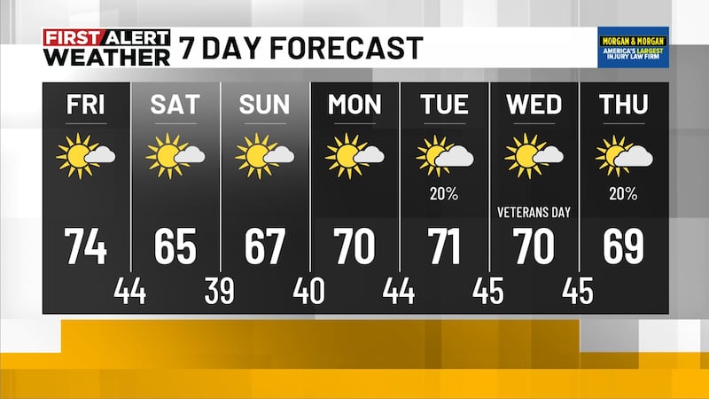
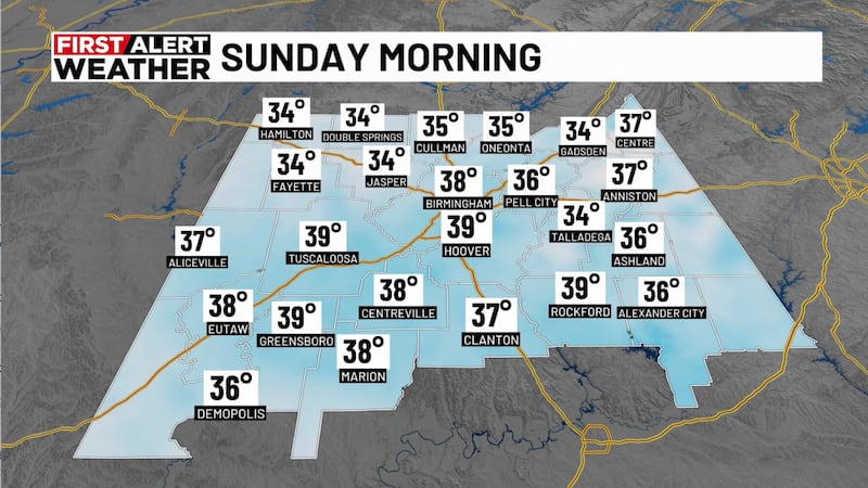
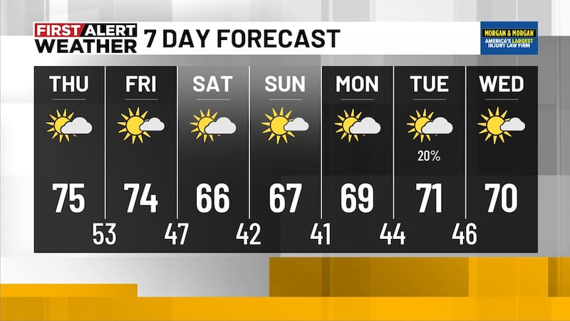
Back to work forecast: For those headed to work or to take their kids to school Monday morning, prepare to dress in layers with Monday morning temperatures in the 40s area wide. Monday will bring us lots of sunshine with daytime highs in the 70s. I recommend packing your kids with sunscreen and wearing it as well, especially if there are plans to be outdoors for long periods of time. UV protection is important and highly recommended when the UV index is 3 or above. The UV index Monday through Wednesday is forecast to be a level 7-8. Winds on Monday will likely come from the east at 10 to 15 mph. Monday evening, temperatures will cool into the 50s and overnight drop into the low 40s for the start of Tuesday.
Tuesday is shaping up to be another sunny day with daytime highs in the low 70s and an overnight low in the upper 40s under a clear sky. Wednesday, temperatures could reach the upper 70s and drop Wednesday night into the low 50s. I’ve added a chance for showers Wednesday night but rain chances as of right now are low. If showers do come about Wednesday, it will likely occur overnight for counties across south central Alabama. I do think Thursday morning looks like our next best chance for showers. I’m not holding a chance for showers for Wednesday for now.

Rain possible Thursday: The Next Big Thing is the chance for rain the second half of the upcoming week. The various weather models are not in agreeance with the timing of all this, but here’s what I’m deciphering. The next big chance for rain will probably roll in through southwest central Alabama Thursday morning. I’m holding a 40% chance for a wet Thursday. Thursday will likely be mostly cloudy with daytime highs in the low 70s and an overnight low in the 50s. Rain is possible on Friday and Saturday as well. Since we are several days out, I’m holding a 30% chance for showers.

The rain we will get in the second half of this upcoming week is resulting from a surface low that’s forecasted to lift northward from the Gulf into Louisiana Wednesday night and Thursday. We’ll have more updates on the next rain chances tonight at 9 p.m. on WBRC Fox 6 News.


Download the WBRC First Alert Weather App for the latest weather updates.
Get news alerts in the Apple App Store and Google Play Store or subscribe to our email newsletter here.
Copyright 2023 WBRC. All rights reserved.